


GDE-076 |
Street View history | |||||||
Geospatial and satellite | ||||||||
October 2026 | ||||||||
01
What it is
Google Street View history is the set of earlier street-level panoramas Google keeps for many places, opened with See more dates, that shows how a location looked on previous capture runs. For an investigator it turns Street View into a dated record of change at street level.
Each time Google recaptures a street, the newer panorama becomes the default view, but for many places the older captures stay available. Google usually labels each panorama with the month and year it was collected, not the day.
That makes the history useful for three questions: whether a building, sign or shopfront in a photo existed when the photo was said to be taken, roughly when a site changed and whether a scene in viral footage matches the street it claims to show. Verification journalists, researchers and due diligence teams use it alongside satellite archives and crowdsourced imagery.
| When to use this guide
|
02
How do you see Google Street View history for a place?
Four free tools and six steps take you from a claimed photo to a dated street-level comparison you can stand behind.
All four tools are free to use, and together they cover street level, the view from above and the light in the frame.
Google Maps Street View: Free, no login needed to view. On a computer or in the Android or iPhone app, See more dates opens earlier panoramas where Google holds them, each usually labelled with its month and year.
Mapillary: Free crowdsourced street-level imagery, acquired by Facebook, now Meta, in 2020. Filter by date range, and use Time Travel to compare images of the same spot taken at different times.
Google Earth Pro: Free desktop app, though Google says it will no longer be available for download from 25 June 2027. Its historical imagery timeline shows dated satellite and aerial captures that help narrow a change falling between two Street View runs.
SunCalc: Free, no account. Shows the sun's direction and elevation for any place and time, so you can compare shadows in a photo with a candidate date.
| Before you begin Stop at the login. Google Maps Street View, Google Earth Pro and SunCalc work without signing in. If Mapillary or any other tool asks you to log in, use a dedicated research account rather than your personal one. Legal considerations. Google's permissions guidelines say Street View imagery may not be screenshotted, downloaded for use outside Google services or used in print; online, embed or link the panorama with attribution. Agree with your editor or legal adviser how working captures are kept in the case file, and treat identifiable people in any imagery as personal data where GDPR applies. |
Note the claimed date and place, then list the fixed features you can see: shopfronts, signs, road markings, street furniture and facades. Archive the page where the image appeared before you start.
Drag Pegman onto the blue line nearest the claimed spot and turn until the fixed features line up with the photo. Copy the URL, which records the coordinates and heading of the view.
On a computer, click See more dates and scroll the thumbnail strip along the bottom; in the Android or iPhone app, tap See more dates. Note the month and year of each capture. Historic imagery is not available everywhere Street View is, so an empty strip is a result too.
Step through the captures and check each fixed feature against the photo. The change happened between the last capture that lacks it and the first that shows it. Record both labels: the result is a window, not a day.
Open Google Earth Pro's historical imagery for the same coordinates and look for dated captures inside the window; construction, demolition and new roofs often show from above. In Mapillary, filter by date range and use Time Travel to find crowdsourced images that fall in the gap.
Use SunCalc to test whether the shadows in the photo fit the place on the candidate dates, and check foliage and weather against the season. Then write the verdict: the date window, the captures it rests on and your confidence tier.
|

03
Where Street View history misleads an investigation
Most errors come from treating a month-and-year label, or a missing capture, as more precise than it is.
Month and year read as a day: The Street View label usually gives only the month and year a panorama was collected. A capture labelled June could have been taken on any day that month. Verifying check: express every finding as a window between two captures, and pin a specific date only with a second dated source.
Street View history read as a complete record: Historic imagery is not available for every place, and the time between capture runs varies. A feature missing from two captures tells you nothing about the months in between. Verifying check: confirm the change in a second archive, such as dated satellite imagery or Mapillary, before you rely on it.
Neighbouring panorama taken for the same spot: Panoramas along a road sit metres apart, so a sign hidden in one capture can be visible from the next position. Verifying check: compare captures from the same position and heading, using the coordinates and heading in the URL you saved.
Similar street taken for the claimed place: Chain shopfronts, standard street furniture and repeated building designs make different streets look alike. Verifying check: match at least three fixed features, such as a house number, a distinctive facade and the junction layout, before you call the location confirmed.
Chain of custody: A Street View finding has to be repeatable by someone who was not there when you made it. Panoramas are replaced as roads are recaptured, and a blur Google applies on request is permanent, so the record you keep is what lets an editor or court retrace each step.
Archive the page where the photo or claim first appeared
Save the Street View link for every capture you compare, with its month and year
Log the coordinates and heading of the matching view
Record which features changed between which captures
Keep the dated satellite or Mapillary images used to narrow the window
Write the verdict with its date window and confidence tier
04
Go deeper
One reference card and two Methods tutorials for placing and dating an image.
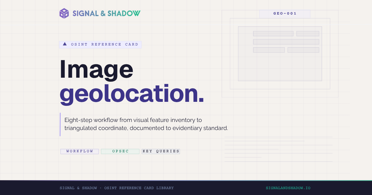
CARD · GEO-001
Image geolocation: methodology and workflow
Google Earth Pro, SunCalc and Mapillary, triangulated to a confirmed coordinate.
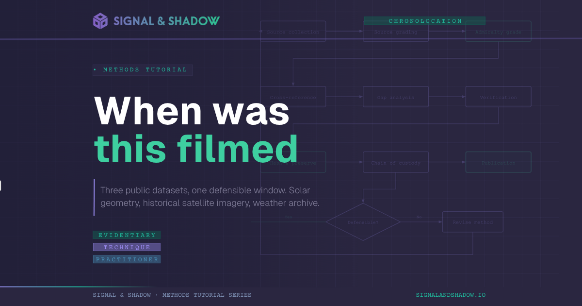
METHODS · SIGNAL TIER
Chronolocation video: establishing when footage was filmed
SunCalc, Google Earth Pro and METAR archives, combined into a defensible date range.
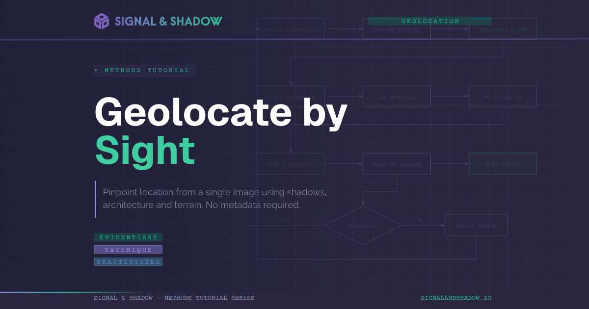
METHODS · SIGNAL TIER
Pinpointing location through visual clues: shadows, architecture and terrain
Sun-shadow analysis, vernacular architecture and terrain reading, narrowed from country to street.
Evidentiary standard
Signal & Shadow operates to the LST-001 evidentiary standard. All claims are graded against the LST-001 v1.0.3 confidence tiers (Confirmed, Corroborated, Reported, Alleged) per the canonical voice and structural specification.
About Signal & Shadow
Signal & Shadow is an independent forensic investigation and methodology practice publishing tutorials, reference cards, and forensic dossiers for working practitioners. Founded by Derek Bowler.