


GDE-065 |
Geolocation and mapping tools | |||||||
Geospatial and satellite | ||||||||
October 2026 | ||||||||
01
What it is
OSINT geolocation is the practice of working out where a photo, video or other open-source material was captured by reading its visual clues (landmarks, signage, terrain and shadows) against free maps, satellite imagery and street-level imagery, without relying on embedded metadata.
Geolocation matters because metadata cannot be trusted: social platforms routinely strip EXIF location data, or it is absent entirely, so the visual content itself has to carry the evidence. The technique combines close reading of the frame (road markings, vegetation, architecture, signage language) with cross-referencing against mapping and satellite tools that can confirm or rule out a candidate location.
Journalists and OSINT investigators use it to verify where footage was actually filmed, to detect misattributed or recycled crisis imagery, and to establish a timeline using shadow position or seasonal detail. It is a corroborating discipline: no single tool geolocates a photo outright, and the method builds converging evidence across several free sources.
| When to use this guide
|
02
How do you geolocate a photo or video?
Geolocation works by narrowing, not by a single lookup: extract candidate clues from the frame, search free mapping and satellite tools for a matching area, and confirm with street-level imagery before treating a location as established.
The following free tools cover most of a geolocation workflow between them.
OpenStreetMap: Free. A user-contributed map of roads, buildings and points of interest, in some areas more detailed than commercial map providers.
Overpass Turbo: Free. A query tool for OpenStreetMap data, useful for finding every instance of a specific feature, such as a particular junction shape or a chain of stores, within an area.
Mapillary: Free. Crowdsourced, geotagged street-level photography, useful where commercial street view coverage is thin or outdated.
SunCalc: Free. Shows sun position and shadow length for any coordinate, date and time, used to narrow or confirm the time a photo was taken.
Copernicus Browser: Free, no login needed to browse, with a free account for advanced features such as timelapse and analytical download. Searchable Sentinel and Landsat satellite imagery archive, useful for confirming larger-scale terrain or land-use features.
| Before you begin Stop at the login. OpenStreetMap, Overpass Turbo, Mapillary and SunCalc all run without an account for the core lookups used in this guide. Copernicus Browser also works without signing in, but advanced features such as timelapse and analytical download need a free Copernicus Data Space Ecosystem account. Legal considerations. Geolocation findings, especially in conflict or disaster reporting, can carry real safety implications for people still at a location. Confirm a location internally and through your own editorial process before publishing precise coordinates or identifying detail tied to an active or sensitive situation. |
List every identifiable detail in the frame: language on signage, vehicle licence plate style, architecture, vegetation, terrain, road markings. Each clue narrows the search area independently, so capture them all before running a single lookup.
Signage language and script narrow to a country or region immediately. Terrain type, road markings and infrastructure style, such as which side of the road traffic drives on or the design of utility poles, narrow it further. Only move to precise-point tools once the region is reasonably established.
Use OpenStreetMap to browse the narrowed region for a candidate match. Use Overpass Turbo when the frame shows a specific, searchable feature, such as a particular junction layout or a named chain store, that can be queried directly against the map's tagged data.
Once a candidate location is identified, check Mapillary for street-level photography of the same point. A matching camera angle on a building facade, a road junction or a piece of street furniture is strong corroborating evidence.
If shadow direction and length are visible in the source image, enter the candidate coordinates into SunCalc and test which dates and times produce a matching sun position. This can confirm or rule out a claimed timestamp independently of any embedded metadata.
For claims involving larger terrain or land-use features, such as a cleared area, a flooded region or a damaged structure visible from above, check the Copernicus Browser's Sentinel imagery archive for the relevant date range before treating the claim as confirmed.
|

03
Common mistakes in OSINT geolocation
A single matching feature is a candidate, not a confirmed location. This section covers the errors that turn a plausible match into a false positive.
One matching feature read as confirmation: A similar-looking building, junction or sign exists in many places. A single point of similarity is not enough to confirm a location on its own. Verifying check: require at least two or three independent, mutually consistent matches, ideally spanning different clue types, before treating a location as established.
Old imagery read as current: Buildings are demolished, roads are rerouted and satellite imagery archives can lag the present by months or years. Verifying check: check the imagery date on any satellite or street-level source before comparing it against a recent photo.
Mirrored footage read as the true orientation: Video that has been horizontally flipped, cropped or re-encoded can invert directional clues such as which side of the road traffic drives on. Verifying check: look for text or signage in the frame, since mirrored text is an immediate tell that other directional clues cannot be trusted at face value.
Geotag or caption read as the capture location: A location tag on a post, or a place named in a caption, records what someone claimed, not where the image was taken. Verifying check: confirm the location from features visible in the frame itself, independently of any tag or caption.
Chain of custody: Geolocation findings rest on a chain of visual comparisons, so document each step rather than only the final conclusion, since a reviewer needs to see the reasoning, not just the answer.
Save the original source image or video before any cropping or enhancement.
Screenshot each mapping or satellite tool result used to narrow the location.
Record the coordinates of the confirmed or candidate location.
Log the date and time of any satellite or street-level imagery relied upon.
Note every independent clue that supported the final determination.
04
Go deeper
A reference card, a Methods tutorial and two guides for taking a geolocation further.
CARD · GEO-001
Image geolocation: methodology and workflow
Google Earth Pro, SunCalc and Mapillary, triangulated to a confirmed coordinate.
METHODS · SIGNAL TIER
Pinpointing location through visual clues: shadows, architecture and terrain
Sun-shadow analysis, vernacular architecture and terrain reading, narrowed from country to street.
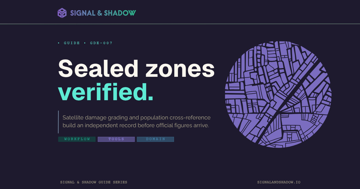
GUIDE · GDE-007
How to use Copernicus EMS when a disaster zone is sealed
Satellite damage-grading maps for building an independent picture of a sealed disaster zone.

GUIDE · GDE-054
Self-host Osiris Live and fuse public feeds into one map
A self-hosted live map fusing flight, CCTV and other public feeds for ongoing monitoring.
Evidentiary standard
Signal & Shadow operates to the LST-001 evidentiary standard. All claims are graded against the LST-001 v1.0.3 confidence tiers (Confirmed, Corroborated, Reported, Alleged) per the canonical voice and structural specification.
About Signal & Shadow
Signal & Shadow is an independent forensic investigation and methodology practice publishing tutorials, reference cards, and forensic dossiers for working practitioners. Founded by Derek Bowler.